Maps are useful to show the location of boundaries of your state and country. This tool will allow learners to locate the boundaries between states and countries, and to locate major cities and capital cities on a political map.
What is a boundary?
What does a political map show?
The learner will use the main features on a map to identify the map as political.
Materials
Map Pencils
Political Map
Resource
Materials
Social Studies Textbook with maps
Read the student notes to find out the features of political map.
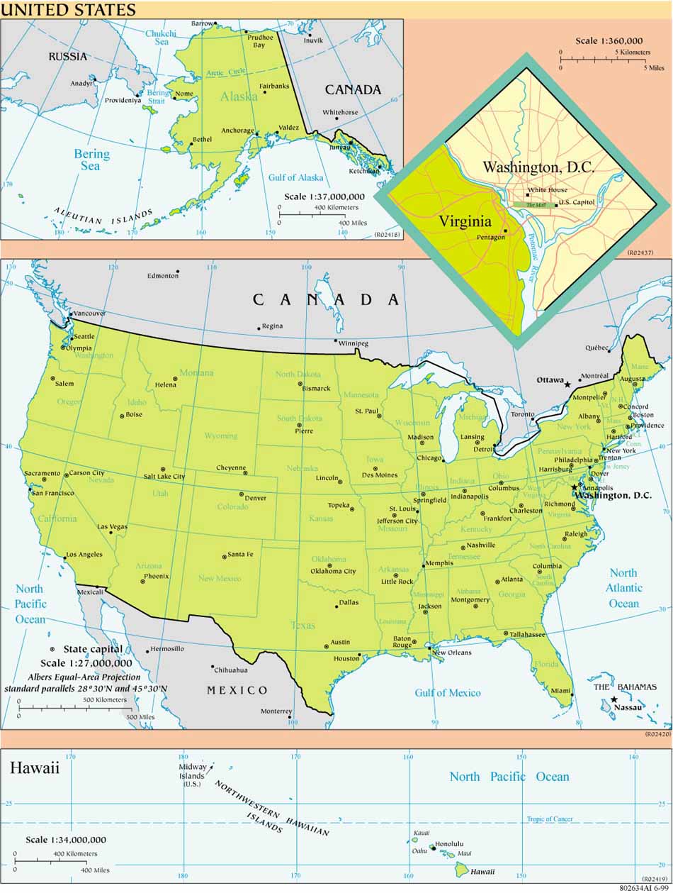
Print a copy of the map of the United States found under "Required Resources."
Use the symbols from the legend to identify international boundary lines.
Trace the international boundary lines with a red map pencil.
Use the symbols from the legend to identify state boundary lines in a country.
Trace the state boundaries with a blue map pencil.
Use the symbols from the legend to identify major cities.
Draw a purple circle around the symbol used for major cities on a map.
Use the symbols from the legend to identify capital cities on a map.
Draw a green circle around the symbol for capital cities on a map.
Students should know what a map legend and map symbols are before trying this tool. It may be helpful to demonstrate the meaning of the word "boundary." Use the analogy of animals in pastures with the fence as the boundary line. Another analogy is a fence separating yards. I'm sure you can think of others that would be meaningful to your area.
Duration: This tool will take about 30 minutes.
This tool will allow the learner to decide the purpose of a map. They will be able to identify the main features of a map as political or physical.
The political map shows the boundaries of states or countries. Boundaries are the lines on a map that separate the land areas. A political map can also show major cities and capital cities.
Use the symbols in the legend on a map to find the meaning of the symbols for boundaries and cities.
The learner will locate boundaries and cities on a political map.
Learners should know what symbols and a legend is before trying this tool. The Aurora tool "Use a Map Legend" should be completed if the learner doesn't know how to use the legend to find the meaning of the symbols used on the map.
It may be helpful to discuss boundaries with the learner by using examples of boundaries found in your area. One example is animals in a pasture with the fence as the boundary. Another example is a fence between yards. You may think of other examples to use that is found in your area.
Please enter a Registration Key to continue.