
Radar & Front Changes Over Time
Big Idea:
Through the use weather maps meteorologists can track the motion of weather systems (i.e. fronts, high/low pressure centers).
Learning Target:
- One will be able to discuss information found on a radar and front weather map.
- One will be able to create a Power Point and explain the interaction between air masses effecting front movement.
Essential Questions:
- How would one illustrate a warm, cold, stationary, and occluded front?
- How can different fronts be contrasted?
- How are warm, cold, stationary, and occluded fronts drawn on weather maps?
- How would one identify air masses that interact to cause fronts?
- How would one draw air flow around H (high) and L (low) pressure areas for the Northern Hemisphere?
- How do meteorologist label time on a weather map?
Instructions:
-
Answer the questions above as you complete the following. Turn in hard copy at end of this 9 week period.
-
Read this this resource then write, sketch out illustations, then discuss with a neighbor the following:
- Identify the four different kinds of fronts
- How fronts "behave" differently
- How different fronts are drawn.
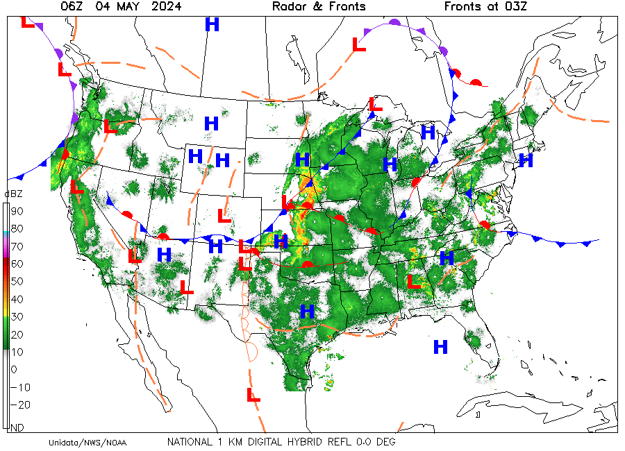
- To track the motion of fronts crossing the U.S. use download this Power Point file. Follow directions provided as it is demonstrated in class. At the beginning of class each day obtain the radar and front weather map below and copy and paste into the Power Point file. Use the day scale.
- To get a better understanding of what Zulu time it is military (24 hour clock) relative from Greenwich England local time. Click here to see time difference.
 |
|
|
Resources
-
Time.xls
No Description Available -
Weather Front Animations
This is great animation that illustrates motion of different weather fronts. -
Weather Fronts and More...
No Description Available -
Jet Stream Maps
This is a great source of 300 mb jet stream videos. -
Jet Stream Locations
This map shows the location and predicted location of the jet stream three days out.